What Is Smart Road Construction?
Go back ten years, and a highway site in India looked much the same as it did twenty years before that. Surveyors on foot, manual checks every few metres, operators eyeballing grades, and a pace of work that was always fighting against the scale of the job. That has changed. Not everywhere and not overnight, but on the corridor projects coming up under NHAI’s Bharatmala Pariyojana programme, the difference is hard to miss.
Smart road construction is the term used to describe projects where digital tools, automated machines, and precision data systems work together across every stage, from the first topographic survey right through to the final joint seal. The word “smart” gets overused, but here it has a specific meaning: decisions that used to depend on manual checks and field experience are now backed by real-time measurements, and machines that used to need constant operator input are now self-correcting against a live data feed.
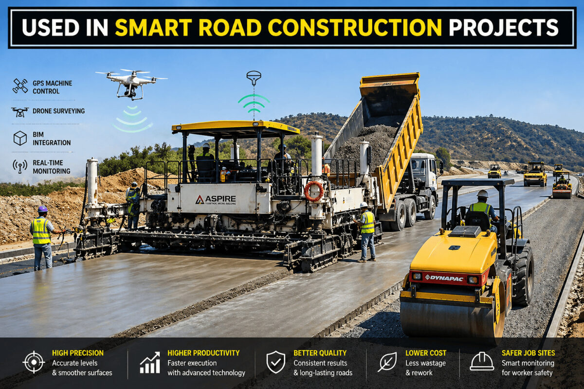
On the ground in 2026, this shows up in practical ways. GPS-guided pavers hold grade without a surveyor walking ahead of them. Drone flights map kilometres of corridor in a morning. Groove cutting machines handle concrete joint cutting with digital depth control, so every cut on a PQC stretch meets IRC 15 tolerances without relying on the operator to judge it by feel.
But the machines are only part of the story. The physical reference accessories that support them matter just as much. Sensor pavers on PQC projects still depend on a correctly installed peg rod and sensor wire setup to feed elevation data into the paver’s control system. Get that reference wrong, and the automation cannot compensate. The precision of the output is only as good as the precision of the setup behind it.
GPS-Guided Machine Control
Getting consistent grades across a long highway section used to mean surveyors ahead of the machine, stakes in the ground at close intervals, and operators stopping frequently to check their work. It was slow, and even careful teams produced sections that needed rework. GPS machine control was the fix.
The setup is fairly straightforward. A receiver on the machine talks to satellites and a fixed ground station, giving the control system a continuous read on the machine’s exact position and elevation in three dimensions. Feed in the design model, and the system adjusts blade height, screed elevation, or compaction effort on its own, without the operator having to intervene.
Pair that with a well-set sensor wire reference system on a PQC job, and you are looking at surface tolerances within 3 mm over a 4-metre straightedge, consistently, across the full length of a paving run. That meets the strictest IRC and NHAI regularity requirements for expressways and national highways.
What It Actually Changes on the Site
• Survey staking largely disappears, which removes one of the more common sources of programme delay
• Subgrade and sub-base levels stay within tolerance across long sections without repeated manual checking
• Material wastage drops because overexcavation and overfilling become far less likely when the machine is self-correcting
• The system logs constructed levels as it works, giving you a digital as-built record without a separate survey exercise
BIM for Road Projects
Building Information Modelling has been talked about in construction for years, but on road projects in India, it has moved from something contractors explored on pilot schemes to something NHAI now mandates on contracts above a certain value. The shift happened quickly, and engineers who had not worked in a BIM environment before found themselves needing to get up to speed fast.
For road work specifically, BIM means creating a full three-dimensional digital model of the project, not just the carriageway, but drainage structures, bridges, utility crossings, and embankments. Every stakeholder, from the designer’s office to the site team to the authority’s project director, works from the same model. That sounds simple, but the practical effect is significant: coordination failures that used to turn up on site, at cost, now get caught at the model stage.
Clash detection is where a lot of that value sits. A drainage structure that conflicts with a utility corridor, a bridge abutment that clashes with a service pipe, these things show up in the model review long before any concrete is poured. Quantity takeoffs from the model are more reliable than those from 2D drawings, which tightens procurement. The 4D scheduling function ties the model to the construction programme, so progress tracking happens against the design rather than against a spreadsheet.
When BIM Meets GIS
Linking BIM to Geographic Information Systems lets you put the project model onto real terrain, with satellite imagery, land use boundaries, and utility records overlaid on top. For corridor selection and environmental assessment on greenfield highway projects, that combination is genuinely useful. Design decisions that look reasonable in isolation look very different when you can see what is actually on the ground around them.
Sensor-Embedded Roads
The idea of building sensors into a road pavement and reading data from them in real time has been discussed in research circles for a long time. On national highway projects in India in 2026, it is happening in practice, not just in trials.
On PQC stretches, sensors go into the slab before paving. Strain gauges, temperature sensors, moisture sensors, and piezoelectric load sensors are positioned in the concrete, and the data they collect once the road is in service goes wirelessly to monitoring platforms where it is processed and analysed continuously.
The catch is that embedding sensors properly requires careful work during placement. The needle vibrator passes during compaction have to be managed so the sensor cables are not displaced and the concrete around each sensor is fully consolidated. Poorly vibrated concrete around a sensor produces bad data. The monitoring system is only as useful as the quality of the installation behind it.
What the Sensors Measure
- Strain gauges pick up tensile and compressive stress in the slab as traffic passes over it
- Temperature sensors track the gradients across slab depth that cause curling and warping over time
- Moisture sensors identify water getting through joints or cracks before that damage becomes visible at the surface
- Piezoelectric sensors in the wheel path record vehicle weights and axle loads in real time, which feed directly into load data for maintenance planning
The practical outcome of having this data is a shift from reactive to preventive maintenance. Instead of waiting for distress to show at the surface and then repairing it, authorities can see early warning signs in the structural data and act before the damage becomes expensive. Over the service life of a road, that difference in maintenance approach is significant.
Automated Paving and Compaction
Slip form pavers on PQC national highway projects have been getting smarter for several years, and on Bharatmala corridor projects, the current generation of machines is a long way from the equipment used a decade ago. Automatic cross-fall control, automatic line and grade correction, and real-time slab thickness monitoring, these all run simultaneously, fed by the sensor wire system running parallel to the paving direction.
The machine reads the wire continuously, compares what it sees against the design requirements, and moves the screed accordingly. The operator steers and monitors, but the slab thickness and surface level corrections happen without manual input. Across a long paving run, the consistency that is produced is something that was very difficult to achieve by manual adjustment.
Once paving and compaction are done, finishing with a power trowel machine brings the surface to the right smoothness and density before texturing and joint cutting start.
Intelligent Compaction
Compaction control has followed a similar path. Intelligent Compaction rollers carry accelerometers that measure the stiffness of the material being compacted on every pass. A real-time map on the operator’s screen shows which areas have reached adequate density and which have not. Extra passes go only where they are needed, which cuts fuel use and removes the guesswork from deciding when a section is done. It also removes the risk of over-compacting areas that have already hit the target, which can be just as much of a problem as under-compaction in some materials.
Drone Surveying and Site Monitoring
There is a before-and-after moment for most site teams the first time they see what a drone survey produces compared to a conventional ground survey. Work that took a field team weeks, walking lines, setting up instruments, booking readings, processing data, comes back in a fraction of the time and often with better spatial coverage than the ground survey would have achieved.
On active Bharatmala corridor projects, drone surveys are now a standard part of the site management cycle rather than an occasional extra. Weekly flights produce updated Digital Elevation Models that are compared against the design model. The comparison shows completed earthwork volumes, highlights sections falling behind programme, and gives the project team something more reliable than progress reports filled in by hand.
Photogrammetry and LiDAR
- Photogrammetry drones capture overlapping images that software stitches into 3D point clouds and orthophotos
- LiDAR drones use laser pulses to build elevation models that work even through tree cover, which matters on greenfield alignments that run through forested terrain
- Combined surveys give you both the visual record and the precise elevation data in a single flight operation
- Processed DEMs import directly into road design and BIM software, cutting out manual data entry and the errors that come with it
Recycled and Green Materials in Road Construction
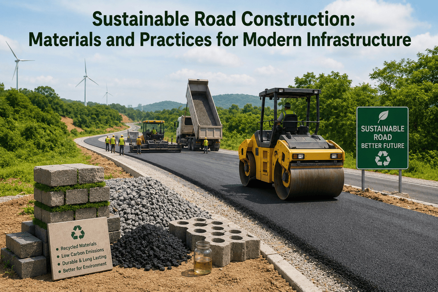
Material costs and carbon footprint have both become harder to ignore on road projects, and recycling technology has moved into the mainstream of Indian highway construction as a result. Two approaches have established themselves clearly: Cold In-Place Recycling and Reclaimed Asphalt Pavement.
Sites where recycling operations are running alongside active paving need clear separation between work zones. Caution tape and safety barricade systems are practical tools for keeping recycling equipment, paving crews, and site traffic from overlapping in ways that cause accidents or damage freshly laid material.
Cold In-Place Recycling
Cold In-Place Recycling works by milling the existing bituminous surface on the spot, mixing the milled material with bitumen emulsion or foamed bitumen at the machine, and laying it back down as a stabilised base course in a single pass. No hauling milled material off-site, no hauling new aggregate in to replace it. The carbon and cost reduction compared to full-depth reconstruction is straightforward to calculate and hard to argue with on a rehabilitation project where the existing pavement has usable material in it.
Reclaimed Asphalt Pavement
Reclaimed Asphalt Pavement uses milled surface material as an input in new hot mix production at the plant. On current Indian highway contracts, RAP goes in at 15 to 30 per cent substitution in new bituminous layers, within MORTH specifications. That proportion of virgin aggregate and fresh bitumen that does not need to be purchased, transported, and processed adds up quickly across the quantities involved in a major highway contract.
How Aspire Enterprises Supports Smart Road Construction
The technology running on a modern PQC highway project is only as reliable as the accessories supporting it. A GPS-guided paver with a poorly tensioned sensor wire gives bad output. A sensor-embedded slab where the needle vibration was not managed correctly gives unreliable monitoring data. The field-level accessories are where precision either holds or falls apart.
Aspire Enterprises supplies the accessories that precision matters for: peg rods and sensor wire systems that give slip form pavers their reference, groove cutting machines for joint cutting to IRC 15, power trowel machines, screed machines, needle vibrators, Plastic Membranes, dowel bar sleeves, expansion joint boards, and polysulphide sealants. Every product is selected against IRC, NHAI, and MORTH construction standards.
To learn more about what we supply and who we work with, visit our About Us page.
FAQs
Q1. What is the most widely used smart technology in road construction right now?
Ans: GPS machine control has the widest adoption on Indian highway sites in 2026. It works across multiple machine types, the accuracy gains are measurable from day one, and it fits into existing site workflows without a complete overhaul of how teams operate.
Q2. Does BIM actually reduce road construction costs, or is it mostly a reporting tool?
Ans: It reduces costs when the model is used properly from design through construction. The biggest savings come from catching clashes before construction starts and from having accurate quantities come out of the model rather than being estimated from drawings. Projects that treat BIM only as a reporting requirement tend to miss those gains.
Q3. Are smart road technologies being used in India, or are they still mostly pilots?
Ans: They are in active use on Bharatmala Pariyojana corridor projects. GPS machine control, drone progress surveys, BIM-based project management, and sensor-embedded pavement structures are all running on live projects, not just trials. NHAI’s mandate for BIM on larger contracts has pushed adoption faster than most expected.
Q4. What does machine control actually mean on a road project?
Ans: It means the construction machine, whether a grader, paver, or compactor, uses GPS positioning and onboard sensors to adjust its operating parameters automatically against a loaded design model. The operator is still there and still essential, but the machine is making continuous fine corrections that would be impossible to achieve manually at the same speed.
Q5. What can a drone survey tell you that a ground survey cannot?
Ans: Speed and coverage, mainly. A drone covers a long road corridor in hours and produces spatial data across the full width of the earthworks, not just along lines where a ground team walked. For weekly progress measurement on a fast-moving highway project, that combination of speed and completeness is hard to match with a ground-based survey approach.